
CANADA-NOVA SCOTIA OFFSHORE PETROLEUM BOARD


Exploration History
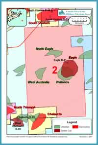
FIGURE: 16
Parcel 2 is located on the Scotian Shelf, in the eastern portion of the Sable Subbasin, a few kilometres southeast of Sable Island (Figure 16). To date, Eagle D-21 is the only well that has been drilled on the block. The block covers an area of 58,445 hectares and is located in water depths varying from 10 to 175 m, with most of the block in less than 100m of water. In the early 1970s, Shell Canada acquired a large area of offshore acreage, which included the Eagle area. At that time, Shell acquired 2D seismic in the region which was used to define the Eagle prospect. The Shell et al Eagle D-21 well was drilled to test for the presence of hydrocarbons within Cretaceous and Jurassic sandstones, of the Missisauga and Mic Mac formations, interpreted to be trapped within a large faulted anticline. Eagle D-21 was drilled approximately 22 km southeast of Sable Island and was spudded on April 22, 1972, in 51 m of water. Figure 17 is a dip line through the D-21 well. The well reached a total depth of 4660 m, in the early Cretaceous lower Missisauga formation. D-21 encountered 52 m of net gas pay in the late Cretaceous Wyandot chalk formation. Gas was recovered from all three well tests conducted in the Wyandot formation.

FIGURE: 17
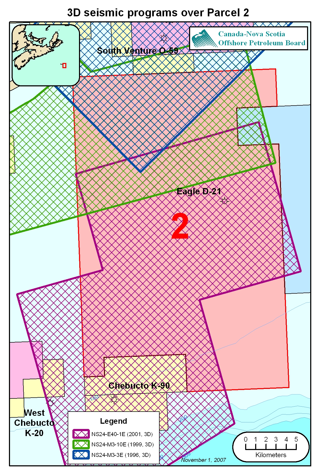
In July, 1999 Mobil Oil Canada with partners Shell Canada and Imperial Oil acquired a number of Exploration Licences, in the Sable Subbasin, including a licence which covered Eagle. The partnership acquired seismic data over a number of their licences, including the northern portion of the current Eagle block. In 2002, following the merger between Exxon and Mobil, ExxonMobil and partners Shell and Imperial acquired 700 km2 of 3D seismic over the Eagle discovery and large portion of Parcel 2. In July, 2004 ExxonMobil’s Exploration Licence, a portion of which covered Eagle, expired and the land reverted to crown.
A number of seismic surveys have been acquired over portions of Parcel 2 since the early 1970s. Interpretation reports are available for most of these programs. The most relevant surveys are listed below in chronological order. Of the surveys listed, ExxonMobil’s 2002 survey (NS24-E040-001E) best defines the Eagle discovery and the other nearby exploration prospects on the parcel.
| Seismic Program# (links by program) |
Operator (links by company) |
Year |
| 8624-S006-009E * | 1972 | |
| 1982 | ||
| 1982 | ||
| Soquip | 1983 | |
| 1983 | ||
| ICG Resources | 1983 | |
| 1984 | ||
| 1996 | ||
| 1999 | ||
| NS24-E040-001E | 2002 |
*8624-S006-009E map is currently unavailable